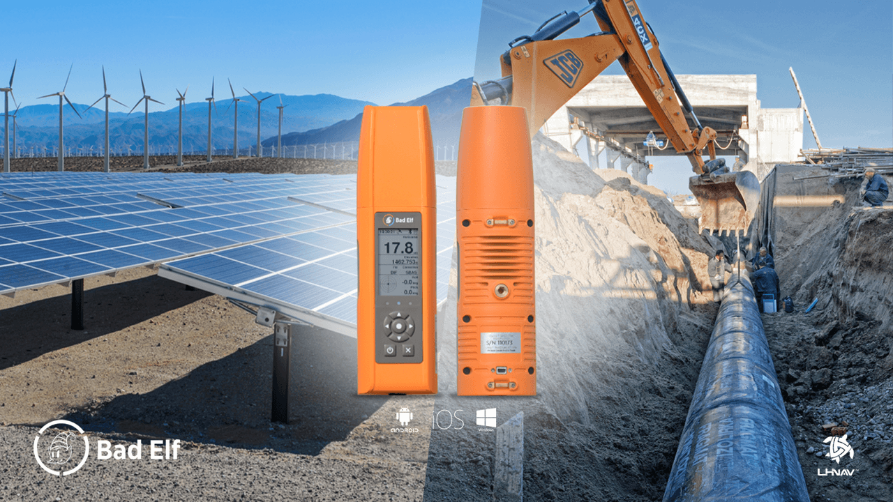
Cart empty 
 
Currency:

LHnav

About LHnav

LHNav, LLC is a turnkey GIS solution provider of rentals, new hardware and technical support. We are a Silver Tier Partner in the Esri Partner Network.

From meter to decimeter we have equipment that will meet your accuracy needs. If you want to collect simple point data or need to take a full set of background data into the field, we have the answer.

Read More


Laser Technology Inc. has discovered the neck strap which is included with the TruPulse 360R Laser has magnetic qualities. The metal crimps and black button attached to the nylon portion of the neck strap can cause compass measurement inaccuracies.Laser Technology Inc.has discovered the neck strap ( FIg. 1) which is included with the TruPulse 360R Laser has magnetic qualities. The metal crimps and black button attached to the nylon portion of the neck strap can cause compass measurement inaccuracies. We encourage you to remove the TruPulse 360R neck strap from the unit and discontinue its use. Contact us by phone at 858-952-1222 or email at This email address is being protected from spambots. You need JavaScript enabled to view it.

Stockpile Solutions

Using a reflectorless laser technology in measuring a stockpile volume is the quickest and safest method available in the market in these days. You can use the Stockpile Laser system whether its aggregate, coal, wood chips, asphalt or anything else in your inventory, this solution has the capability to measure almost any surface without the need of a reflector.

Conventional methods demand your crew to hold a prism pole and engage areas of a large pile off material. Some areas make using a total station and prism pole even unmanageable due to loose material that can cause safety hazards, not even mentioning lack of detail and poor results you can get.

Preparing for aerial fly-over is costly and will basically have you wait for days and even the worst, for weeks just for the result. This system may not even be available specially in bad weather situations. Nevertheless, the need for monthly assessments is becoming a reality.

Our company’s solution adapts the TruPulse 360B, in union wth LTI’s MapSmart with Volume software. Read More

Latest News and Announcements

  • LHnav is proud to announce it will be attending the Southeast ESRI User Conference as an exhibitor! We will be showcasing our various leading edge field solutions for rental and sale. As n ESRI Partner we also provide the service to help our clients get their field work "kick started" with training and support for not only use but also building base maps and both pre field and post processing. ...
  • The Tip of the Mitt Watershed Council Finding a Digital Camera Solution with the Capabilities Needed for Complex, Outdoor Shoreline Surveys ABOUT THE CUSTOMERThe Tip of the Mitt Watershed Council is a non-profit organization dedicated to protecting the lakes, streams, wetlands and groundwater of Northern Michigan. It accomplishes these goals through advocacy, innovative education, technically sound water quality monitoring, thorough research and restoration actions. With a staff of approximately 10 persons and a host of volunteers throughout Northern Michigan, the Watershed Council is the lead organization for water resources protection in four counties, comprised of more than 2,500 miles of...
  • WASHINGTON — (BUSINESS WIRE) — April 15, 2013 — Beginning April 2013, the Smithsonian National Air and Space Museum will examine the cultural and technological history of precise timekeeping and navigation at sea, in the air, and in space and the impact of satellite navigation on our everyday lives. The exhibit, TIME and NAVIGATION, will explore ‘how revolutions in timekeeping over three centuries have influenced how we find our way.’ ...
  • This Product Bulletin announces the end-of-life plan for the Trimble Recon handheld computer. The Recon computer was first released in 2003 and has been a successful product for three generations. Various internal components are no longer available from our suppliers, thus forcing an end to production of the Recon computer.End of Life ScheduleMCS anticipates inventory of Recon computers with Bluetooth and Wi-Fi will be exhausted between May 1 and August 31, 2013, varying by part number. Inventory of non-wireless Recon computers will last through December 2013. See further details by Recon Part Number in the table below. The Estimated Last...
  • We are pleased to introduce our New GIS & Mapping solutions combing the LT30 and LT400 GPS Handheld Receivers with the Digiterra Explorer GIS field data collection and maintenance software.DigiTerra Explorer is an out-of-the-box, complete mobile GIS and field data collection solution that provides database access, mapping, GIS and GPS integration. Since it is a fast, easy-to-use, multipurpose, multi-platform software, users can easily visualize, analyze, edit and collect digital topographical and descriptive data in the field. ...
  • Shanghai, China, March 21, 2013 -- CHC Navigation today announced that it has entered into a supplier agreement with DigiTerra Information Services. DigiTerra Explorer mobile GIS and Mapping software is now available pre-installed on CHC LT30 and LT400 handheld GPS/GIS receivers offering powerful and easy-to-use GIS data collection and maintenance solutions for GIS professionals. “We are excited to start a strategic partnership with DigiTerra to offer advanced, field to finish,  GPS/GIS solutions to our international customers,” says George Zhao, CEO of CHC Navigation. “The combination of our LT GNSS Handheld series with Digiterra Explorer provides a high-end and cost-effective answer...
  • Nightmare on GIS Street: Accuracy, Datums, and Geospatial Data This subject scares me. I’m not a trained geodesist. I’m not a mathematician. Yet, I’d be derelict in my duty if I didn’t write about this subject. I know enough to be dangerous, and enough to know this subject is going to be a nightmare for people managing geospatial databases. ...
Accepted Payment:

About Us

LHNav LLC is a turnkey GIS solution provider of rentals, new hardware and technical support. We are a Silver Tier Partner in the Esri Partner Network.

From meter to decimeter we have equipment that will meet your accuracy needs. If you want to collect simple point data or need to take a full set of....

Continue reading >>

Contact Us

Main: (858) 952 - 1222
FAX : (619) 878 - 5211

Email: This email address is being protected from spambots. You need JavaScript enabled to view it.

Twitter
Twitter
Linkedin
Linkedin
Facebook
Facebook
Delicious
Delicious